Contents
Photogrammetry vs Laser 3D Scanning: Understanding Mapping Technologies
In the world of 3D mapping and digital reconstruction, two primary technologies stand out: photogrammetry and laser 3D scanning. While both techniques aim to create detailed 3D models of objects or environments, they employ distinctly different approaches.
What is Photogrammetry?
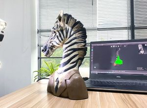
Photogrammetry is a sophisticated imaging technique that transforms two-dimensional photographs into precise three-dimensional digital representations by leveraging advanced computational algorithms and geometric principles. This method enables professionals across various industries—including archaeology, film production, urban planning, and surveying—to create accurate 3D models without direct physical contact with the subject.
The core process of photogrammetry involves several intricate technical steps:
- Image Capture Strategy: Systematically photographing an object or landscape from multiple strategic angles, ensuring significant overlap (typically 60-80%) between consecutive images to facilitate comprehensive spatial reconstruction
- Feature Detection: Utilizing advanced computer vision algorithms to automatically identify and match distinctive pixel patterns and geometric features across different photographs
- Point Cloud Generation: Mathematically triangulating precise spatial coordinates by comparing matched points, creating a dense three-dimensional point cloud representation
- 3D Model Reconstruction: Transforming the point cloud data into a textured, geometrically accurate digital model using specialized photogrammetry software
| Photogrammetry Characteristic | Technical Description |
|---|---|
| Precision Range | 0.1mm – 10cm, depending on camera quality and image overlap |
| Typical Software Tools | Agisoft Metashape, RealityCapture, Pix4D |
| Primary Advantages | Non-invasive, cost-effective, flexible capture methodology |
Unlike traditional 3D scanning methods, photogrammetry leverages computational power and standard photography equipment, making it an increasingly accessible and versatile digital reconstruction technique for professionals and enthusiasts alike.
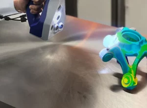
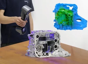
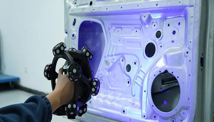
What is Laser 3D Scanning?
Laser scanning, also known as LiDAR (Light Detection and Ranging), is an advanced remote sensing technology that uses laser beams to measure distances and create precise 3D point clouds. This sophisticated method captures spatial information by employing several key technical principles:
- Emits laser pulses that bounce off surfaces with remarkable precision
- Calculates exact distances using time-of-flight measurements
- Generates highly accurate spatial representations
The core mechanism of laser 3D scanning involves projecting millions of laser points across a target area, creating a dense network of measured coordinates. Each laser pulse travels at the speed of light, hitting surfaces and reflecting back to specialized sensors that record the exact time and angle of return. By calculating the time difference between emission and reception, the scanner can determine precise distances with sub-millimeter accuracy.
| Scanning Parameter | Technical Specification |
|---|---|
| Scan Rate | Up to 1 million points per second |
| Accuracy | ±2-6 mm depending on equipment |
| Range | 0.5 – 300 meters |
Different laser scanning technologies include terrestrial, airborne, and mobile systems, each optimized for specific environmental and application requirements. Industrial-grade scanners can capture complex geometries in manufacturing, architectural preservation, geological surveys, and forensic investigations with unprecedented detail.
Technology Comparison
| Characteristic | Photogrammetry | Laser 3D Scanning |
|---|---|---|
| Equipment Cost | Low (uses standard cameras) | High (specialized laser scanning equipment) |
| Accuracy | Moderate (depends on image quality) | High precision |
| Surface Detail | Texture-rich, color-accurate | Geometric precision, less color detail |
Practical Applications
Photogrammetry excels in:
• Architectural documentation
• Cultural heritage preservation
• Film and video game visual effects
Laser scanning is preferred for:
• Engineering and construction surveys
• Industrial quality control
• Geological mapping
Key Considerations for Selection
When choosing between photogrammetry and laser scanning, consider:
• Project budget
• Required accuracy level
• Complexity of the object or environment
• Available equipment and expertise
Technological Limitations
Photogrammetry challenges include:
• Requiring good lighting conditions
• Needing significant image overlap
• Potential challenges with reflective or uniform surfaces
Laser scanning limitations involve:
• Higher equipment costs
• Potential difficulties with transparent or highly reflective materials
• More complex data processing
Emerging Trends
Both technologies are rapidly evolving, with emerging hybrid approaches combining photogrammetry and laser scanning to leverage their respective strengths. Advanced software algorithms continue to improve accuracy and reduce processing times.